This page is the plain-language answer to a question that comes up in almost every conversation about living near the water on southern Vancouver Island. It is written by locals, from the maps and guidance published by the Province of BC, the Capital Regional District, and local municipal emergency programs. It is not a government pamphlet, and it is not meant to scare anyone. It is meant to make the phrase “get to high ground” specific, so it means something real to you.
First, Know Your Zone: Does Everyone Need to Evacuate?
The single biggest misunderstanding about tsunami alerts in Greater Victoria is that “get to high ground” means the whole city has to evacuate. It does not. Nobody is asking downtown Victoria to empty out, and nobody is asking you to run for Mount Douglas. The guidance from the Province of BC and from every local emergency program is simpler: know your zone.
If you are not inside the tsunami hazard zone, you do not need to evacuate. That is the whole rule. The hazard zone appears as the yellow zone on the official tsunami hazard maps, and it hugs a narrow band of low-lying coastline in a few specific places. Most of Greater Victoria sits well outside it, and for those addresses the alert is a heads-up, not a call to action.
Here is the fact that anchors all of this: Greater Victoria is part of Tsunami Notification Zone D, which covers the Juan de Fuca Strait from Jordan River to Greater Victoria, including the Saanich Peninsula. Emergency planners consistently describe the tsunami risk here as low, and the reason is the geography of the coastline. Saanich’s own emergency program counts about 621 structures that intersect the Tsunami Hazard Zone, primarily in the Cadboro Bay and Telegraph Bay area, and it still describes the risk as low because of how that coastline is shaped.
And the part that surprises most people: you find out your zone by looking up your address, not by waiting for the alert. The Capital Region Tsunami Information Portal takes your exact address and shows you exactly which zone it falls in. Do it once, when you are calm, and you will never have to puzzle it out on the day the sirens sound.
If you do nothing else today
Check your address on the Capital Region Tsunami Information Portal. On this interactive map you can enter your exact address in the search bar to see whether you are inside a tsunami hazard zone and to map a safe evacuation route. Most addresses in Greater Victoria are outside the hazard zone and do not need to evacuate. Confirming yours takes fifteen seconds, and it turns a vague warning into a specific plan. Tip: if the address search is finicky, zoom the map to your street and check whether your property falls in the shaded (yellow) hazard zone.
What “High Ground” Really Means
For the people who do live inside the hazard zone, the instruction is straightforward: move up and inland. “High ground” does not mean a mountain, a lookout tower, or a scenic viewpoint. It means getting away from the coast and away from low-lying ground, following designated tsunami evacuation routes where they exist, and staying there until local officials say it is safe to come back.
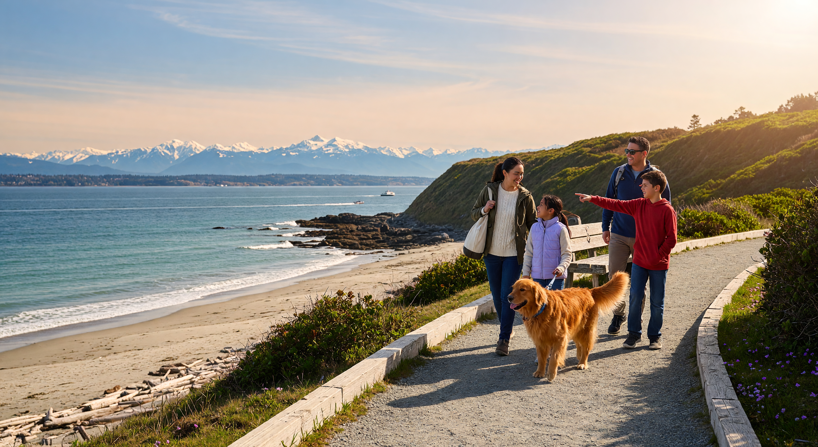
The practical translation for most waterfront homes in Greater Victoria: this is a short walk up the hill, not a long drive across town. In a neighbourhood like Cadboro Bay, moving to high ground means heading up and inland from the beach towards the higher streets above the shoreline. On foot, usually in a few minutes. You are not trying to out-drive the ocean and you are not trying to reach a distant landmark. The goal is simply to put elevation and distance between you and the water.
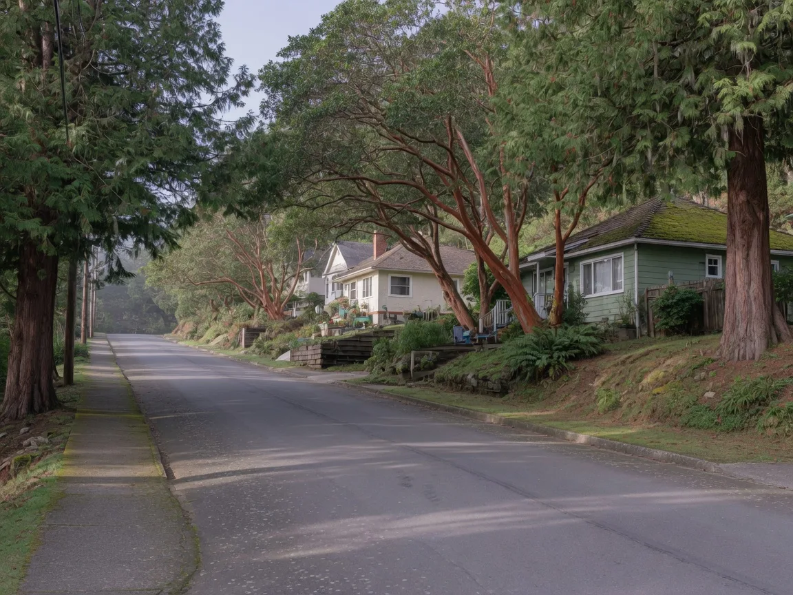
In most hazard-zone neighbourhoods, “high ground” is the next street up, not a destination across town. For waterfront homes this is usually a short walk from the beach to the higher streets above the shoreline.
Two habits matter more than knowing the exact street. First, do not stay at the shoreline to watch. Second, do not plan to come back quickly. A tsunami is a series of waves, not a single wave, and the largest can arrive later, sometimes an hour or more after the first. “It looks calm now” is not a signal to return. When officials say it is safe is when it is safe.
One caution: do not rely on any single elevation number you read in an article, including this one. The official hazard zone maps are the authority on where the zone begins and ends, because they are built from precise elevation, shoreline, and runup modelling that a round number cannot capture. Use the maps.
Wait for the Alert, or Go Now?
Near the coast, nature’s warning signs matter more than your phone. If you are in a tsunami hazard zone and any of these happens, move up and inland immediately. Do not wait for an official alert. You may have only minutes.
- Strong ground shaking near the coast. If the earthquake is hard enough to knock you off your feet or make you hold on to something, do not wait for a siren. Move.
- A loud roar from the ocean. People who have heard it describe something like a freight train or a low aircraft, coming from the water.
- The water receding unusually far, exposing the sea floor. This is the classic tsunami sign: the ocean visibly drains backwards, sometimes a long way out.
- Water rising rapidly instead of going out. Sometimes the first sign is a fast-rising surge rather than a draining beach.
All four mean the same thing: move up and inland now. The alert system is a valuable backstop. It confirms what is happening and tells the wider region what to expect. But for someone standing on a beach or living at the waterfront, the shaking and the sea are the real alert, and they arrive first. The official guidance is consistent and worth memorizing: if you feel strong shaking near the coast, go immediately, do not wait for an official alert.
Neighbourhood Notes for Greater Victoria
Because the hazard zones follow the actual contours of the land, general descriptions only get you so far. But a few local notes are worth having in your head:
- In Saanich, the mapped hazard structures are concentrated in the Cadboro Bay and Telegraph Bay area. For someone at the beach in Cadboro Bay, high ground means heading up and inland from the shoreline towards the higher residential streets above the bay. The climb is short; the destination is the first solid elevation away from the water.
- Across the region, low-lying coastal areas in Esquimalt, View Royal, Colwood, Sidney, and the Saanich Peninsula each have their own specific mapped zones, and each municipality has published what its residents should do. The zones are precise to the street, which is exactly why the map matters.
- The big picture: the mapped zones are the exception, not the rule. Most of the CRD coastline outside the mapped hazard zones does not require evacuation in a tsunami scenario, and most inland neighbourhoods are outside the zone entirely. The risk modelling is consistent across the region: the concern is low-lying coastal ground, not the city as a whole.
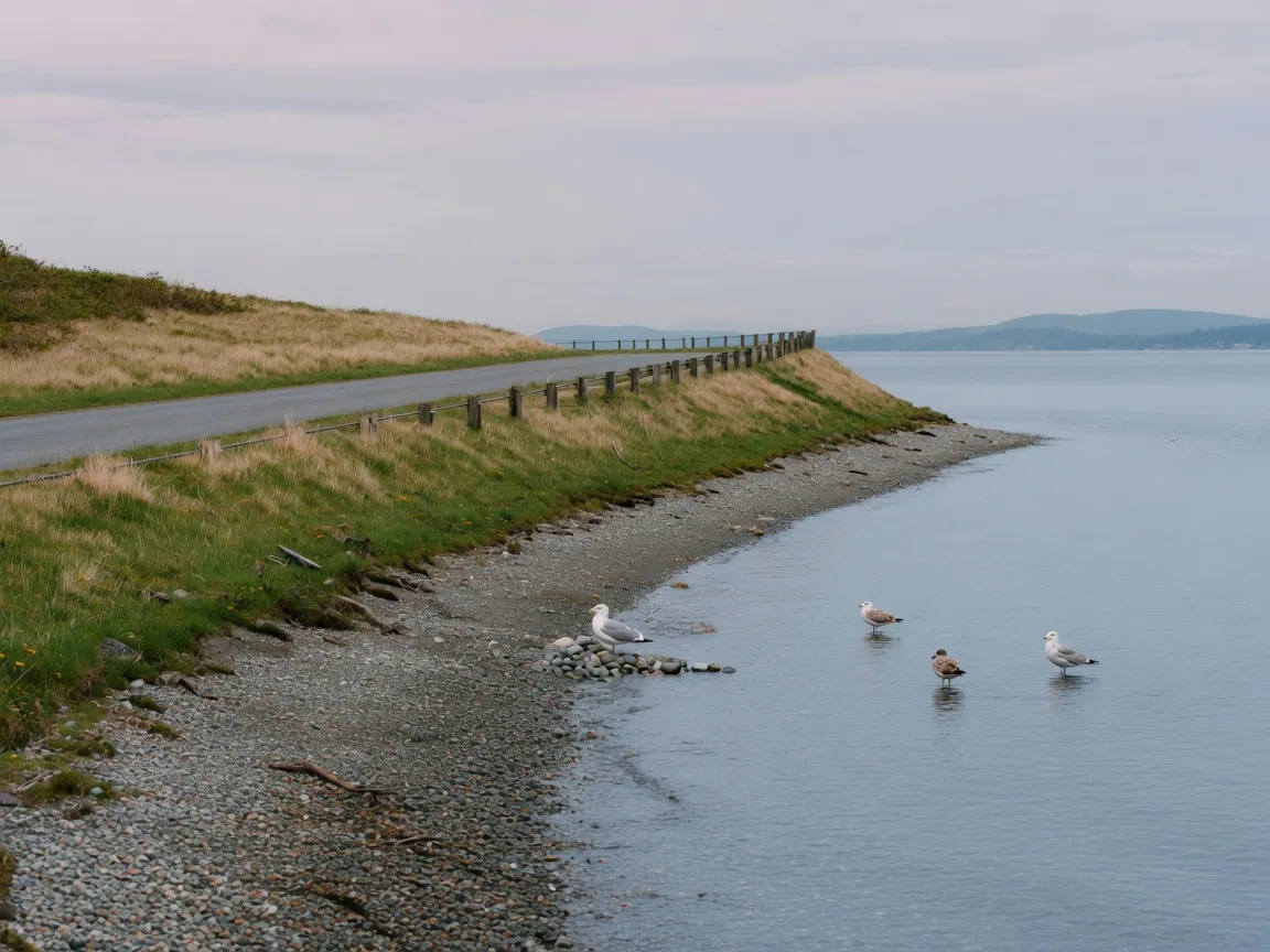
Low-lying coastal stretches are exactly where the official hazard zones are drawn. Inland neighbourhoods, even ones only a few streets up, are usually outside them.
Because these zones follow contours and streets precisely, do not trust a general description of “near the water.” Check the official map for your exact address. A house three blocks off the beach may still be in the zone; a house with an ocean view may sit entirely above it. And while you are at it, the same coastline that makes our guide to Greater Victoria’s beaches fun to read is worth understanding in safety terms too, especially if you spend time on the waterfront.
What to Do After the Warning
The wave you see first is rarely the largest. A tsunami arrives as a series of waves over several hours, and the biggest can come later, which is why the guidance is so firm about staying put. Once you are on high ground, plan to stay there.
- Stay away from coastal and low-lying areas until emergency officials confirm it is safe to return. “It looks calm” is not a signal. Tsunamis are a series of waves.
- Expect to be away for hours, not minutes. If you have time and it is safe, grab water, snacks, medications, a phone charger, warm layers, and anything your pets need.
- Follow local officials and local radio. They are the ones who confirm when the all-clear is real, and they will tell you if roads or utilities are affected.
- Do not drive down to the shore to look. Waterfront roads are exactly where the danger is, and a looky-loo becomes the problem.
After the alert, the practical picture for most Greater Victoria households is genuinely reassuring. For the majority of addresses there is nothing to do at all, because they are outside the mapped zone. For the ones inside it, the plan is a short, known route uphill. Neither version requires panic. Both require knowing which one applies to you, and that is a fifteen-second check you can do tonight.
One more thing worth knowing while you are planning ahead: most standard home insurance policies in BC exclude earthquake damage and overland flooding. It is an uncomfortable sentence, but it is a real one, and it is a separate conversation from a tsunami itself. Our guide to home insurance in Victoria walks through what is covered and what is not.
Official Sources: Where to Check Your Own Address
These are the tools emergency planners actually want you to use. Bookmark the map, check your address, and skim the preparedness page once a year. That is the whole homework assignment.
Quick Answers: Tsunami High Ground Questions
Do I need to evacuate if I live in downtown Victoria?
Almost certainly not, but confirm it on the hazard zone map. Downtown and most inland neighbourhoods sit outside the mapped tsunami hazard zone, and only addresses inside the yellow zone need to move up and inland. When in doubt, look up your address on the Capital Region Tsunami Information Portal.
Does “get to high ground” mean the whole city runs to Mount Douglas?
No. That is the most common misunderstanding. Only people inside the mapped hazard zone need to move, and for most of them “high ground” is the next street up from the waterfront, a short walk, not a drive across town. If you are outside the zone, you stay put and stay informed.
How do I know if my address is in the tsunami hazard zone?
Look up your address on the interactive tsunami hazard zone map. The yellow zone is the hazard zone. The site shows exactly which zone your address falls in, so you are not guessing from a general description of the coastline.
Should I wait for the official alert before moving?
If you are in the zone and you feel strong shaking near the coast, hear a roar from the ocean, see the water recede unusually far, or see it rise rapidly, go immediately. Do not wait for an alert. You may have only minutes, and the natural signs arrive first.
How long will I need to stay away from the coast?
Expect hours, not minutes. A tsunami is a series of waves and the largest can arrive later, so stay away from coastal and low-lying areas until officials confirm it is safe to return. Make sure your grab-and-go supplies can cover a long afternoon.
The Relocation Angle: Why This Belongs in Your Neighbourhood Research
Part of choosing a neighbourhood in Greater Victoria is understanding its emergency picture, right alongside its commute, its school catchment, and its coffee shop. It is the kind of local knowledge that does not show up in listing photos: where the water comes up to, what the land does behind the beach, and what residents are actually asked to do when the alert fires.
If you are moving to Greater Victoria and want the honest neighbourhood rundown, including the parts that never make it into a listing, book a buyer consultation with us. It is free, it is straight talk, and it is exactly the kind of conversation we enjoy most. And if your next question is whether you will actually stay connected once you are here, our guide to internet and cell coverage in Greater Victoria is the other half of that same homework: staying safe and staying connected are two sides of the one local-knowledge checklist. If you are earlier in the research process, start with our complete relocation guide to Victoria BC, which walks through everything else you will want to know before you land, and our neighbourhood guides for the day-to-day reality of each area.

About the Authors
Anna Hakim & Perry Fanthorpe, Happy Homes Team
Anna Hakim and Perry Fanthorpe are AI Certified Agents at eXp Realty in Victoria, BC. They write the community guides on Roots in Victoria the same way they work with clients: researched, honest, and specific to this corner of Vancouver Island.